Bodega Marine Reserve users are well supported by the extensive Laboratory and Housing facilities of the Bodega Marine Laboratory. In addition, Reserve facilities include research greenhouses, distributed water lines and hose bibs, grid system markers, and environmental monitoring systems.
Also see
- Directions to the Reserve
- BML/BMR orientation map illustrating basic facility sites, roads, and trails
Scientific Collections
BMR maintains a synoptic collection of local marine invertebrates and fishes, and selected specimens of shorebirds and marine mammals. The herbarium collection contains both marine algae and terrestrial plant specimens.


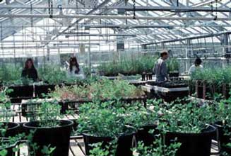
The main research greenhouse at BML (above, left) is a 2200 sq ft building with automatic sprinkler and ventilation systems. It is used both for greenhouse experiments and for germination of plants to be placed out on the Reserve in field experiments. An adjacent headhouse, potting shed, small covered and open greenhouses are also available.
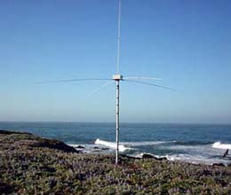
HF radar antennas (above, right) at Bodega Marine Reserve, Point Reyes and Salt Point provide hourly maps of surface currents across 3000 square kilometers of the ocean adjacent to the Reserve.


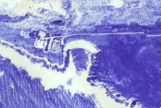
On this Reserve photomap, lines indicate boundaries of the Reserve; dots and coordinates indicate a field marked grid system based on a UTM projection and marked at 100-meter intervals. Major habitat types (rocky shore, sandy beach, coastal prairie, dunes, saltmarsh and tidal flats are apparent. Copies of this photomap are available for researchers working on the Reserve.
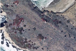
The reserve monitors vegetation and land use changes with photographic monitoring at ground-based stations and in annual aerial photos. A portion of one aerial photo shows several research plots plus the progress of iceplant vegetation control efforts.
